
Czech startup Skymaps has launched “Zoneye”, an AI model that detects crops and weeds from drone images, trains on local species, and helps farmers cut input costs by 50% while boosting yields 20%
Czech startup Skymaps has launched Zoneye, an AI model that allows farmers to train the system to recognize weeds unique to their region. Trained to recognize 37 common weed species, Zoneye pinpoints their exact location in the field using drone images. Integrated into the company’s CultiWise prescription-map platform, the tool enables growers to cut input costs by up to 50% while boosting yields by up to 20%.
Trained on millions of drone-captured images of crops and weeds, Zoneye can identify, within minutes, all common weeds such as thistle, mayweed and ragweed among major crops including corn, winter wheat, soybean, sugar beet, sunflower, rapeseed, potatoes, and onions. Farmers upload their own drone images to the cloud-based software, which delivers results in minutes. Zoneye is available worldwide.
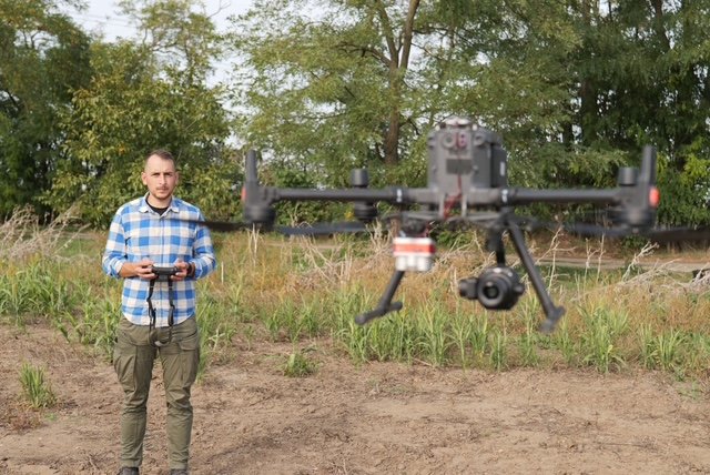
Farmers capture field images using drones with RGB cameras —flying at heights of 40 to 120 meters, depending on weed size—and upload them to the CultiWise platform. The system processes images through a proprietary AI model trained on millions of drone photos. Within minutes, CultiWise generates precise prescription maps detailing the location, density, and species of weeds, enabling the farmer to decide the exact amount of herbicide required for each area. These maps are exported directly to machinery terminals, guiding sprayers to apply herbicides only to weed-infested areas.
Turning maps into actions :
Known as spot-spraying and variable rate application, this precise crop protection method relies on prescription maps to accurately distribute herbicide. Many farmers already own sprayers capable of spot application but often lack the tools and expertise to detect weeds and generate prescription maps.
The maps inform farmers of expected volume savings. “Zoneye offers up to 50 % reduced herbicide input, because farmers apply only what’s needed and only to the individual weed plants. This can result in increased yields of up to 20 percent due to reduced crop stress,” adds Kornel Cziria, Chief Technology Officer at Skymaps.
Zoneye is an advanced system that distinguishes crops from weeds in “green-on-green” scenarios where they appear similar, unlike traditional systems limited to bare soil. Its precision allows it to count individual plants, aiding farmers in decisions about reseeding or continuing crops.
Using the same prescription-map technology, Zoneye can also guide seeding. By analyzing plant density and gaps in the field, the system can recommend adjusting seeding rates for areas where germination is low. This ensures uniform crop establishment, optimizes input use, and helps farmers maximize productivity across the field.
Additionally, Zoneye provides early harvest estimates, giving farmers an advantage when planning resources, managing grain storage, and scheduling sales.